Explor-Homepage-Backup.png

We deliver better results with less impact.

Next level seismic success. We are pushing the boundaries of technology to deliver better results at a lower cost.

Explor® seismic leaves legacy seismic methods in the dust.

Seismic data showing layered underground rock formations with variations in density and structure.

High resolution without high costs.

Explor achieves a significantly greater trace density for any given budget, leading to a significant uplift in seismic image quality.

Group of seismic contractors gathered around discussing, all wearing white safety helmets and orange safety vests, at a site with a pickup truck in the background.

Better quality data, faster.

Explor is faster and more nimble which means quicker layout and retrieval using fewer field crew, and fewer vehicles.

Aerial view of a forest with several Canadian seismic contractors traversing on foot with their near zero footprint seismic technology.

Lower environmental footprint

Hand carried nodes, a wide range of source options, and intelligent planning allow us to virtually eliminate environmental impact.

Three Canadian seismic contractors in winter gear, including helmets and reflective vests, trekking through a snow-covered forest with tall trees.

Less exposure to HSE risk

Explor minimizes exposure to HSE risk and reduces costs because it needs fewer people in the field, reduced driving and line clearing.

Close-up of a handheld seismic device used for controlling technology, with wires connected, being held by a person wearing warm gloves in an outdoor field with snow and dry grass.

The technology to see more.

The data and intelligence to help you see clearer using proven, leading edge technology.

Four Canadian seismic contractors rock climbing with their technology wearing safety gear and helmets, rappelling down a steep rock face.

The ability to do more.

We can go places others can’t and always come back with what you need.

Explor® the world

Check out Explor’s advanced technology at work around the world in all terrains helping forward thinking companies shape a smarter future. 

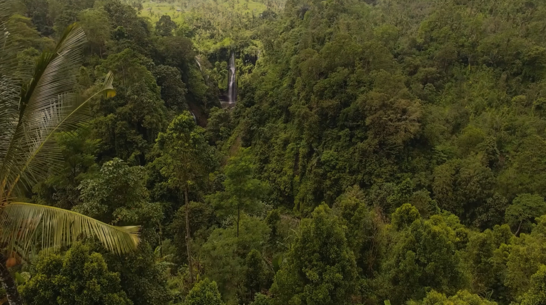
A small stream flowing through a lush green tropical forest with rocks and fallen branches.

Jungle

A mountain landscape with rocky terrain, a small lake, and rugged mountain peaks under a blue sky with some clouds.

Mountains

A vast, arid desert landscape with sparse dry shrubs, mountains in the distance, and a cloudy sky overhead.

Desert

Snow-covered mountain landscape with large rock formations and a clear sky.

Arctic

A dense forest with trees in fall colors, showing green, yellow, orange, and red foliage.

Forest

A lush green marsh with small water channels, with a tree line in the background under a clear sky.

Wetlands

A vast, open field of tall, dry grass under a bright blue sky with scattered white clouds, and distant buildings and utility poles on the horizon.

Plains

Sandy beach with dune grass and vegetation, ocean waves in the background under a cloudy sky.

Coast

Why industry leaders choose Explor®:

Color-coded seismic data topographic map showing contour lines and elevation variations in different colors.

Superior results

By delivering superior subsurface images, Explor provides you with greater certainty, less risk and the ability to make better business decisions.

A peaceful lake scene with a boat and two Canadian seismic contractors on it, surrounded by tall grass and reeds, under a partly cloudy sky.

Near-zero impact

Our team of scientists, logistics and project experts work tirelessly to acquire high-quality geophysical data with almost no environmental impact.

Four global seismic contractors in blue uniforms and yellow safety vests working in a desert, using specialized equipment to analyze the ground.

Intelligent business

Lower environmental impact, reduced HSE risk, and great results are just good business. Turnkey pricing gives our customers cost certainty.

A project preparation site with a large crane and orange boom lift on a wide, flat dirt surface under a clear blue sky. There are seismic vehicles in the background.

Connect with us to discuss your project.

Small or large, simple or complex, we are well equipped to offer a great solution for any onshore project.