We deliver better results with less impact.
Next level seismic success. We are pushing the boundaries of technology to deliver better results at a lower cost.
Explor® seismic leaves legacy seismic methods in the dust.

High resolution without high costs.
Explor achieves a significantly greater trace density for any given budget, leading to a significant uplift in seismic image quality.

Better quality data, faster.
Explor is faster and more nimble which means quicker layout and retrieval using fewer field crew, and fewer vehicles.

Lower environmental footprint
Hand carried nodes, a wide range of source options, and intelligent planning allow us to virtually eliminate environmental impact.

Less exposure to HSE risk
Explor minimizes exposure to HSE risk and reduces costs because it needs fewer people in the field, reduced driving and line clearing.


Explor® the world
Check out Explor’s advanced technology at work around the world in all terrains helping forward thinking companies shape a smarter future.

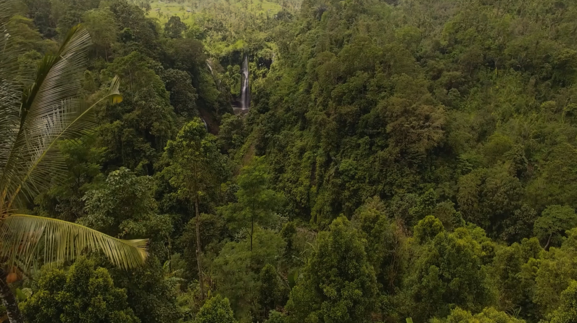
Jungle

Mountains

Desert

Arctic

Forest

Wetlands

Plains
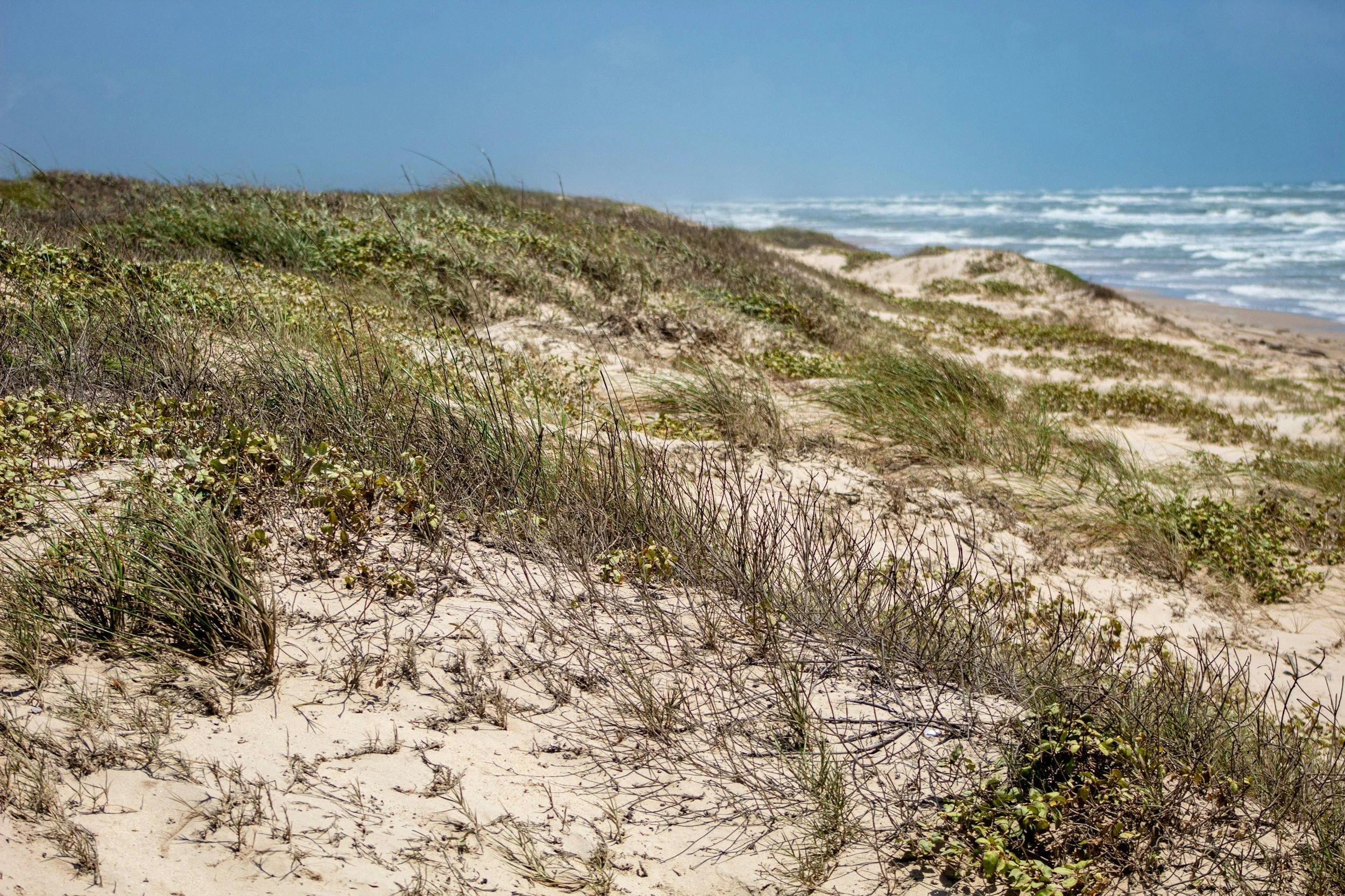
Coast
Why industry leaders choose Explor®:

Superior results
By delivering superior subsurface images, Explor provides you with greater certainty, less risk and the ability to make better business decisions.

Near-zero impact
Our team of scientists, logistics and project experts work tirelessly to acquire high-quality geophysical data with almost no environmental impact.

Intelligent business
Lower environmental impact, reduced HSE risk, and great results are just good business. Turnkey pricing gives our customers cost certainty.

Connect with us to discuss your project.
Small or large, simple or complex, we are well equipped to offer a great solution for any onshore project.