PinPoint’s innovative seismic source technology enables ultra-high density seismic imaging of oil sands targets while achieving a near zero environmental footprint.
ALL SYSTEMS GO
FOR THE OIL SANDS.
CONFIRMING COMMERCIAL VIABILITY FOR GEOLOGICAL IMAGING IN THE OIL SANDS, PINPOINT TECHNOLOGY PRODUCES SEISMIC IMAGES THAT LAY THE GROUNDWORK FOR TRACE DENSITIES IN EXCESS OF 10 MILLION PER KM2.
TO BOLDLY GO WHERE NO
SEISMIC CREW HAS GONE BEFORE.
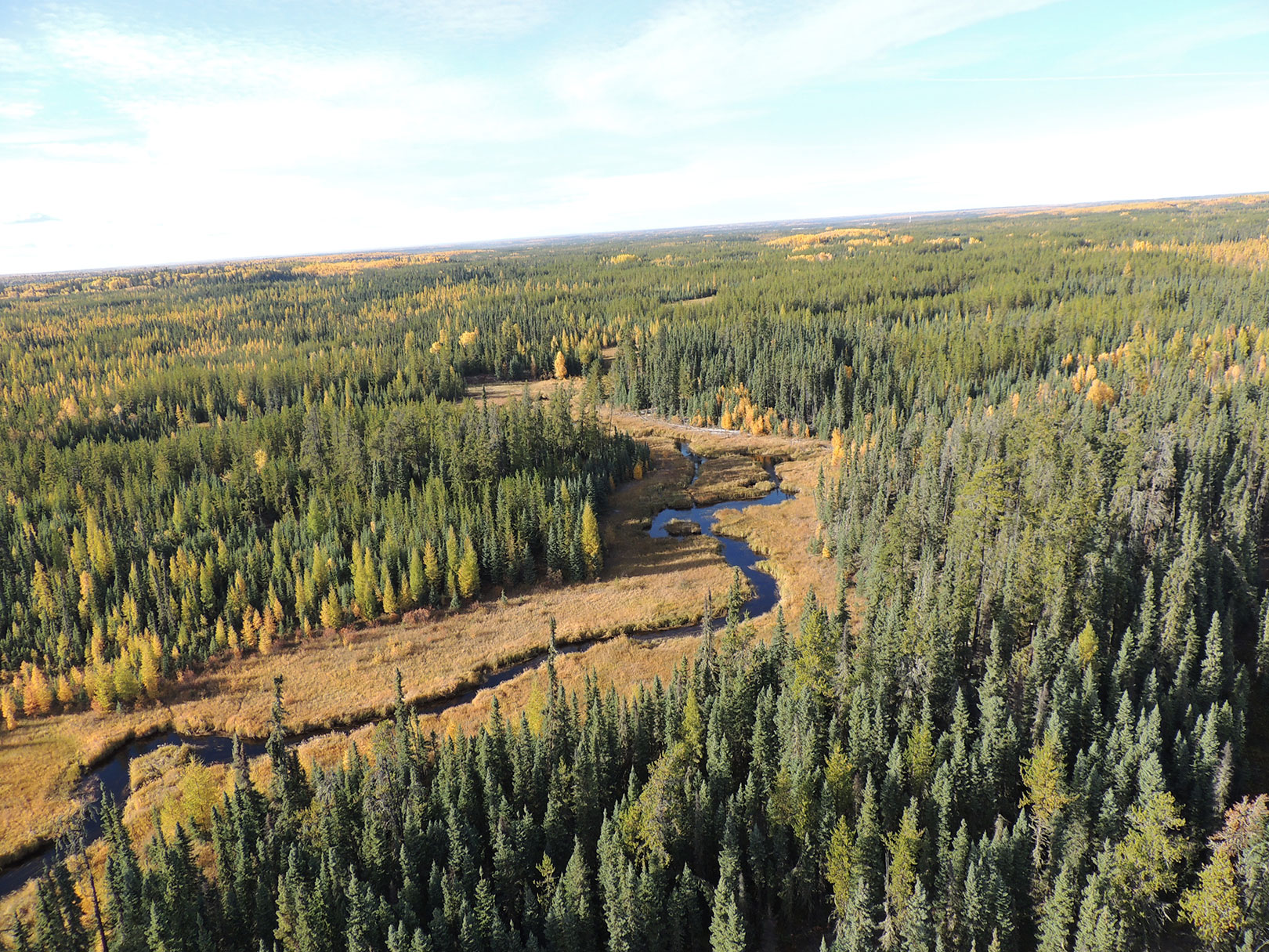
The Alberta Energy Regulator granted approval to test Explor’s PinPoint method through a riparian area where other seismic sources are not permitted, eliminating key gaps in seismic data coverage. The result is seismic data that increases productivity, minimizes impact, reduces cost inefficiencies and improves overall performance.


